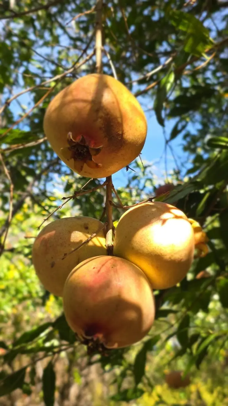
Family & Beginner-Friendly
A Family Day of Persimmon Picking and a Short Hike
Pick persimmons at Bar 2 Ranch, then picnic by the pond at Wilderness Gardens Preserve. An easy fall day trip for families in North County San Diego.

I came here with our group to get ready for Yosemite’s Half Dome. And I have to tell you something: this hike is tougher than Half Dome.
The trail isn’t as well maintained. It’s super rocky and tough. There are no other people on the trail, and there’s zero shade. You are exposed the whole time, surrounded by cactus. And it’s long, with several false summits.
Do not hike alone.
It’s not a hike to do on a whim, and there’s no water anywhere on the trail. But if you’re ready for it, it’s one of the most rewarding days you can have in San Diego County.
The first mile or so is flat, crossing the desert floor toward a long ridge. Then the real climb begins. Most of the elevation comes in about 5 miles, straight up the ridge.
In places the trail runs along the edge of a steep drop toward Clark Valley. The trail can be faint, so watch for the rock piles (cairns) that mark the way.
And those false summits… It looks like you’re there, but you’re not. Embrace it!
From the top you can see the Salton Sea, Clark Dry Lake, Toro Peak, San Jacinto and the whole Anza-Borrego desert below.
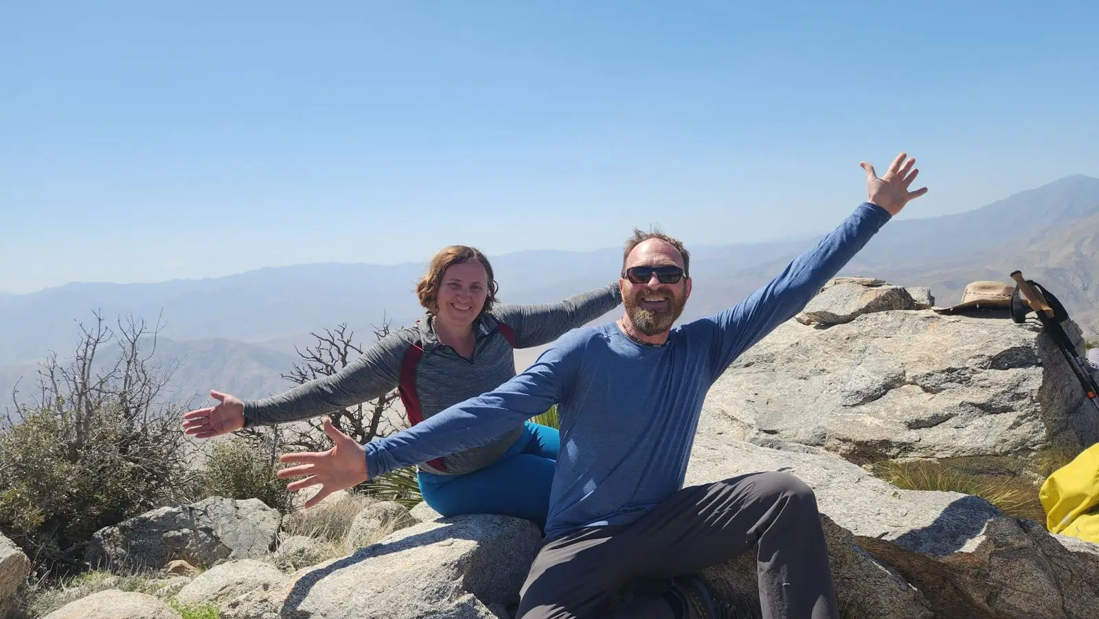
The trail is very rocky, so wear good shoes and bring trekking poles.
Then remember: everything you climbed, you have to come back down, and the downhill is tough. Save energy and enough time for the descent.
Build up to it. Hikes like Potato Chip Rock and Mt. Woodson are great training for big desert days.
Want to train for bigger adventures with a supportive group? Join Hike Out Club and tell us where you want to go next.
Pick persimmons at Bar 2 Ranch, then picnic by the pond at Wilderness Gardens Preserve. An easy fall day trip for families in North County San Diego.
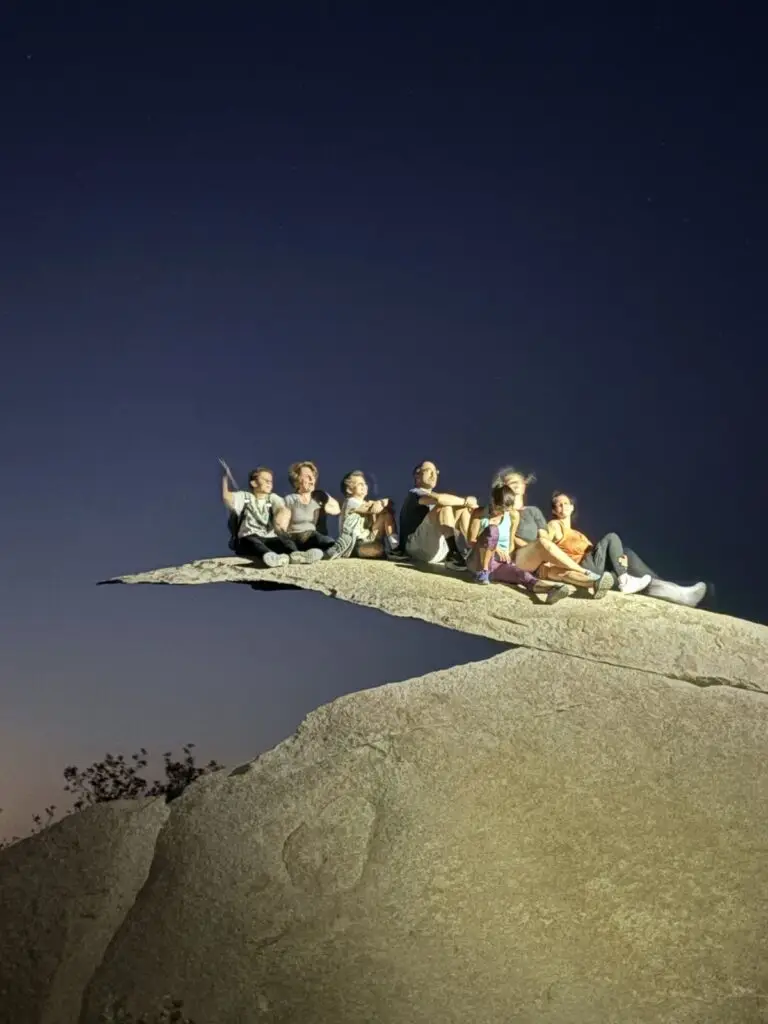
Sunset on the way up, moonlight on the way down. How to hike Potato Chip Rock under a full moon, with distance, parking and safety tips.